MSFS 2020/2024
K74V Roosevelt Municipal Airport
K74V Roosevelt Municipal Airport
USA Airports
Airport Details
Airport History
Roosevelt Municipal Airport is a city-owned public airport located three miles south-west of Roosevelt, in Utah’s Uintah Basin. The airport was activated in October 1975 and sits at an elevation of 5,176 ft, providing an important aviation link for Roosevelt, Duchesne County and the wider surrounding area.
Today
Roosevelt Municipal Airport is a general aviation facility supporting private, business and utility flying in a region with a significant oil and gas industry. The airport provides 24-hour self-service 100LL and Jet A fuel, de-icing capability and maintenance support, serving both locally based aircraft and visiting traffic.
Navigation Details
Runway 07/25: 1,982 m × 23 m (6,501 ft × 75 ft), asphalt, with medium-intensity runway lighting, REILs and PAPI on both ends. The airport has AWOS-3P weather reporting, RNAV (GPS) RWY 25 with LPV minima, and a VOR-A procedure based on the Myton VOR/DME.
Scenery Features
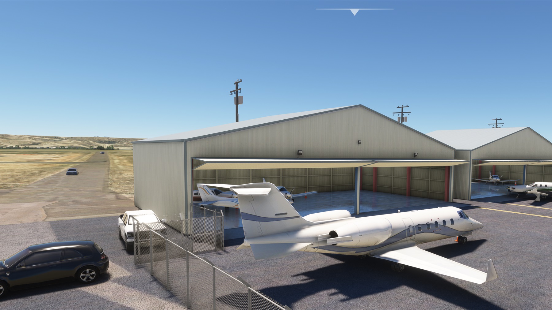
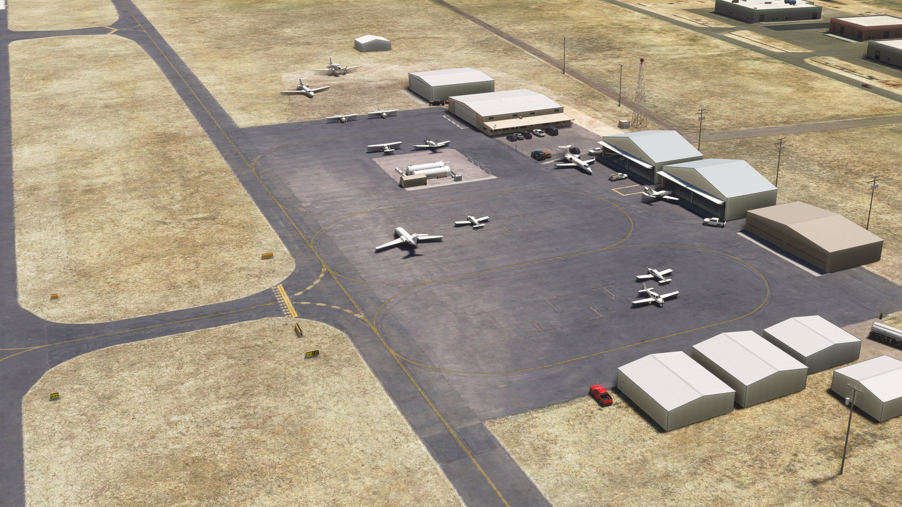
This scenery is created with high-quality modelling, PBR textures and close attention to detail. It includes custom ground imagery and markings matched to the real airport. Where appropriate, selected hangars feature interior detail, while some buildings include transparent glazing and visible interiors. The scenery is optimised for efficient simulator performance and is regularly updated with content improvements and bug fixes. Airport-specific static aircraft may be included to give the airfield a distinctive, lived-in character; these do not occupy airliner parking stands, which remain available for default or add-on AI aircraft.